Backroads of Santander
Posted in February, 2019
See my accompanying post Boyacá backroads to El Cocuy.
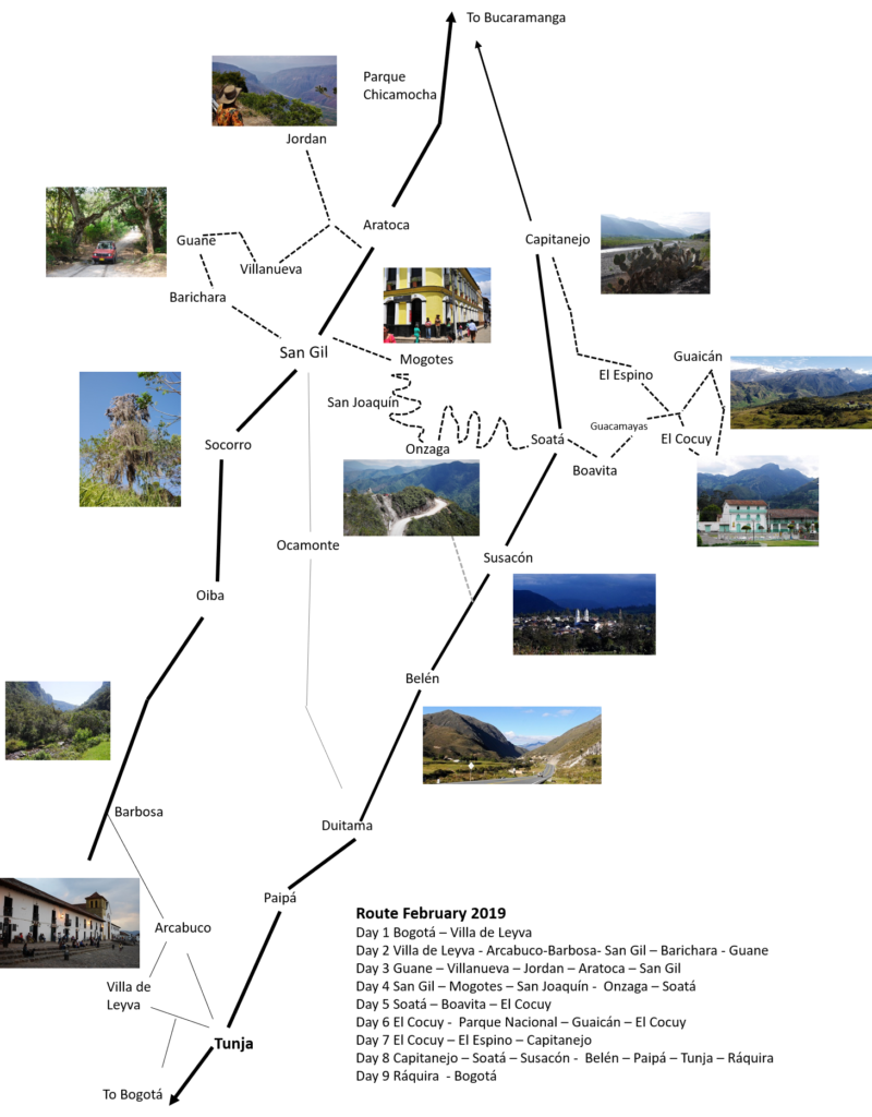
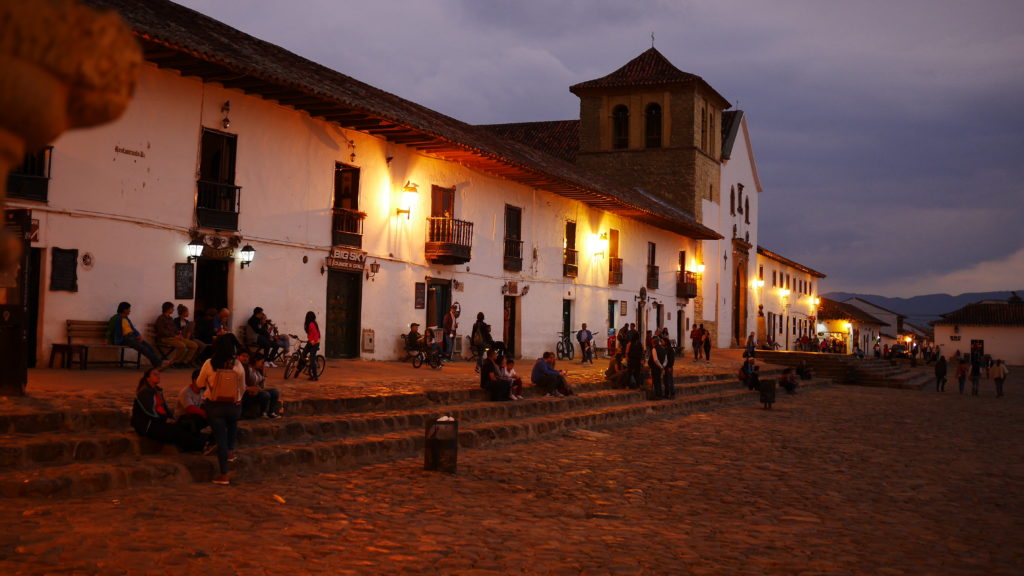
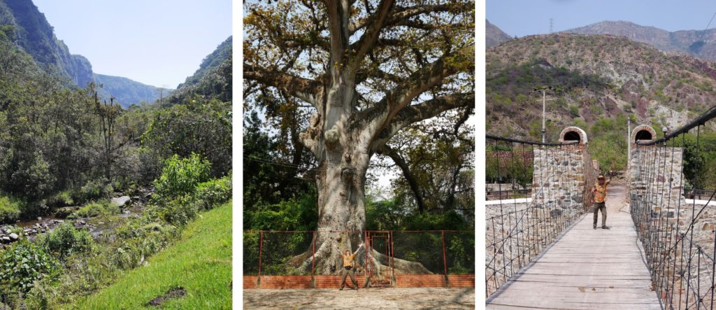
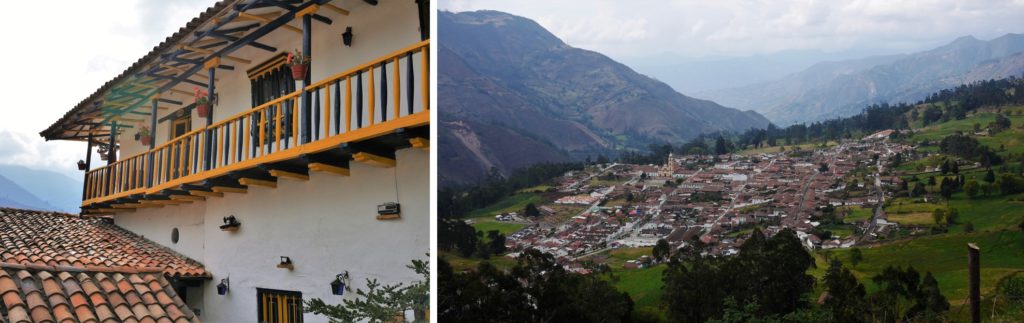
The departamento of Santander is beautiful, with rushing rivers, deep canyons, picturesque villages and great roads to drive. It’s also one of the safe parts of Colombia, and increasingly geared up for tourism. Here I am posting info and photos from several recent trips, with much done in February 2019. The area geographically entwines with Boyacá, so also see the Backroads of Boyacá post, and note that some of this journey includes Boyacá.
Like everywhere in Colombia, road access is never guaranteed. Off-road journeys are best done in the dry – December to March, and June to September – and avoided in the peak wet season – April, May, and October, November. But weather patterns are fickle here so be aware. Below I have given the route taken and main way-points and daily destinations. But I have not posted exact distances and times. You’ll have to work those out for yourself. For some of this trip you’ll need a rugged car with high ground clearance. 4×4 is best, but not essential in dry weather. Some tips:
- we did the trip in 9 days, driving every day, usually 6 hours, but plenty of time to stop and have coffee etc. A two-week trip would give more time to enjoy the Chicamocha Canyon and El Cocuy.
- fuel up when you can, these rugged roads drink fuel.
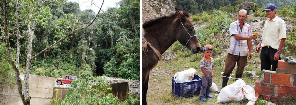
- carry extra water and food. Some places are very lonely.
- for the Guane – Villanueva – Jordan – San Gil section you’ll need to ask directions. There are no signs.
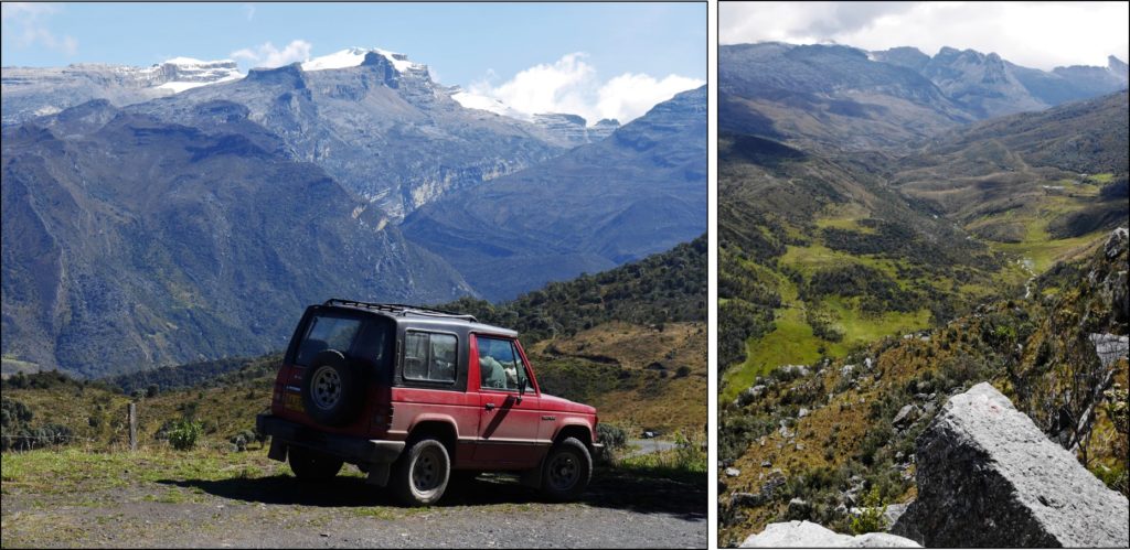
- The Onzaga – Soatá road crosses a mountain and is just a track in places, and is hardly used. there is a better road via Susacón (then main road to Soatá). The track appears on Google maps.
- The scenic El Cocuy – Parque Nacional – Guican loop road skirts the mountain, climbs to 4000 metres, and is rough. There is a better road to Guaicán via Panqueba. Both routes are on Google Street View.
- The El Cocuy – El Espino – Capitanejo road is very beautiful but can wash out, so check in El Cocuy if it’s open. Alternative is to return by the higher Boavita road. From Capitanejo there is good highway all the way back to Bogotá (can be driven in 10 hours at speed).
- For accommodation, cheap simple hotels are easy to find in all locations. Or you can book ahead with booking.com. Even small towns have good lunch restaurants. But at night some places (Guane, Soatá, for example) are very limited for dinner options, so arrange food for the evening as soon as you arrive.
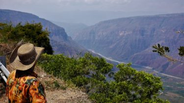
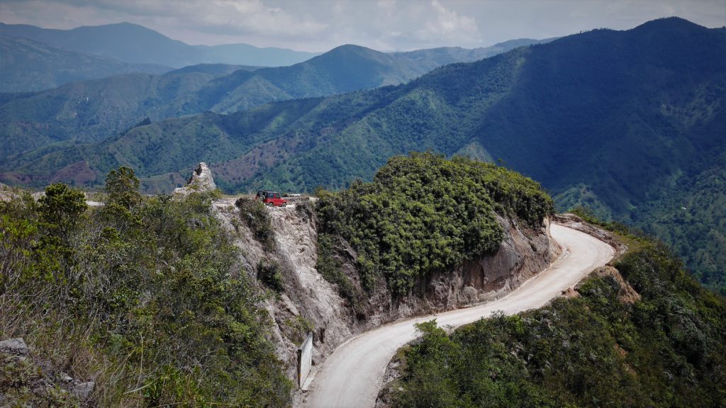
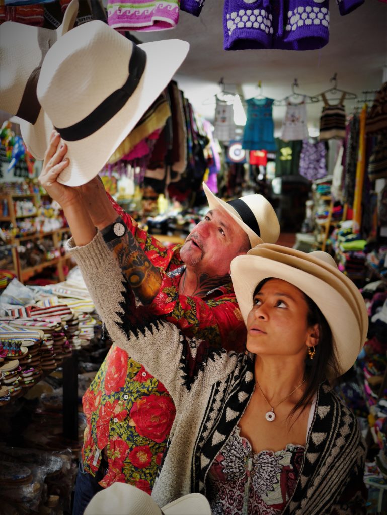
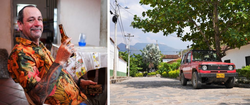
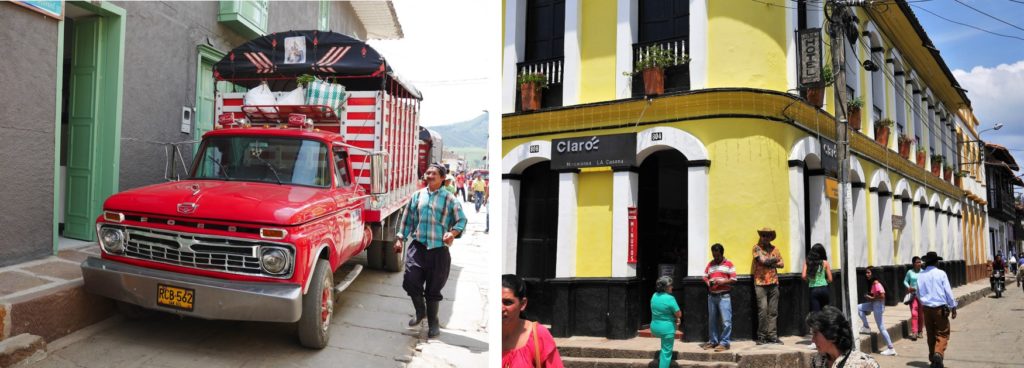
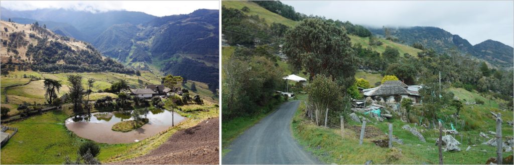
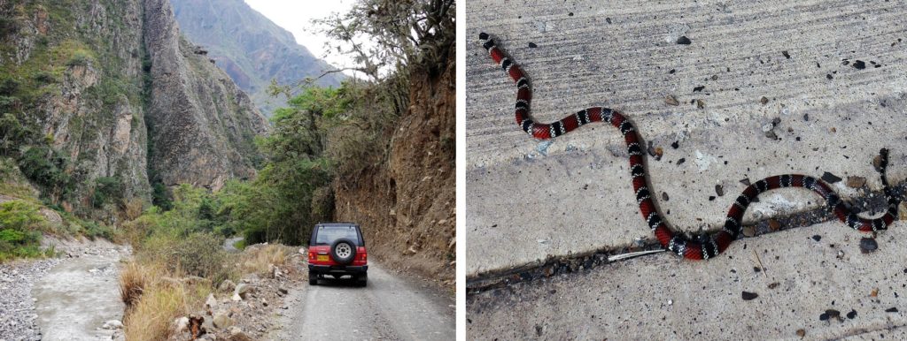
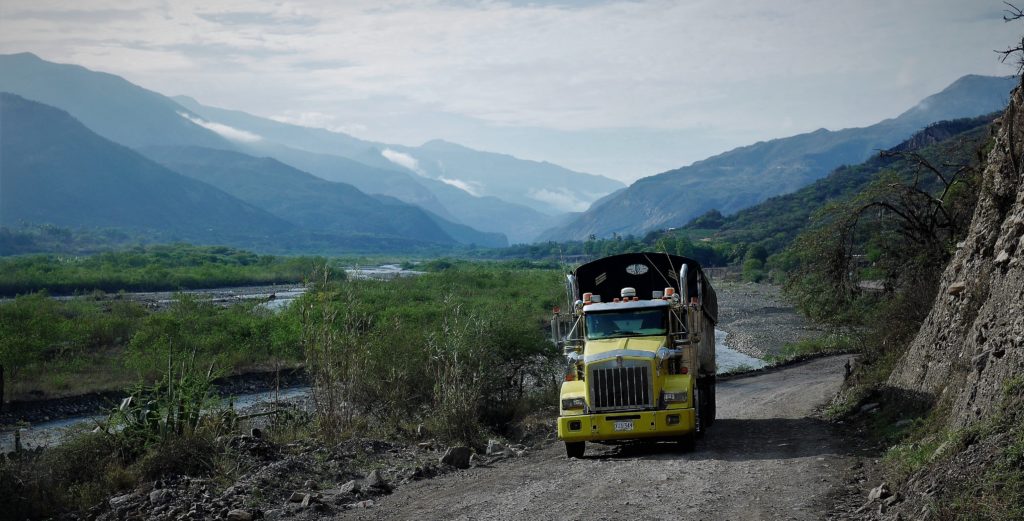
Here’s some photos to tell the rest of the story.

There is a less rugged route from Onzaga to Susacón then main road to Soatá, see map.
See my accompanying post Boyacá backroads to El Cocuy
14:45
Great f—- ing trip steve…. loved it all… thanx dude…!!!! Xxx